For information about Deering Park, click here.
Mitigation Bank
In 2000, Miami received permits from the St. Johns Water Management District (SJRWMD) and the U.S. Army Corps of Engineers that created the Farmton Mitigation Bank. The entire 23,351-acre mitigation bank is under perpetual conservation easement and is being managed in accordance with the terms of the permits.
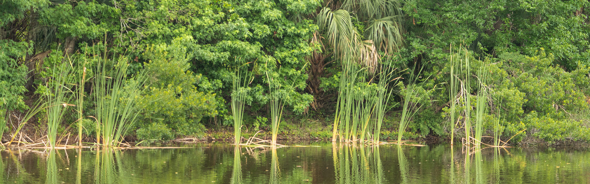
The Farmton Mitigation Bank preserves three distinct, but hydrologically connected sites. The North Bank protects the Crane and Spruce Creek swamps, the headwaters of Spruce Creek. The West Bank protects two tributaries of the St. Johns River - Cow Creek and Deep Creek – that originate on or meander through the property. The South Bank protects the Buck Lake Marshes which are immediately north of SJRWMD Buck Lake conservation lands. The mitigation plan provides a framework for restoration, enhancement and preservations of wetlands and uplands along with wildlife management in perpetuity.
For State mitigation, the Farmton Mitigation Bank is located within SJRWMD Basins 17 and 18 with a cumulative service area including Basins 17, 18, 19, 23 and portions of 14, 16 and 20. Both freshwater herbaceous and forested UMAM standard state wetland credits are available for purchase.
For Federal mitigation, the Farmton Mitigation Bank’s service area includes all or significant portions of the Upper (Lake Poinsett, Tosohatchee & Puzzle Lake Units), Middle (Econlockhatchee River, Deep Creek Unit, Lake Jessup & Lake Monroe Unit) and Lower St Johns River Basins (Crescent Lake), Lake George Basin (Lake Woodruff & Lake George Units), and the Northern Costal Basin (Halifax River Unit). Palustrine WRAP standard federal wetland credits are available for purchase.